Documentation / Site measurement and boundary record
Land survey
/lænd ˈsɜːr.veɪ/noun
From Old English land and Anglo-French surveier, “to look over,” from Latin videre, “to see.”
Definition
A measured record of a property prepared by a surveyor, showing its legal boundaries, corners, easements, existing buildings, and often ground levels and contours.
Fig. 77 — Land survey: schematic studyNOT TO SCALE
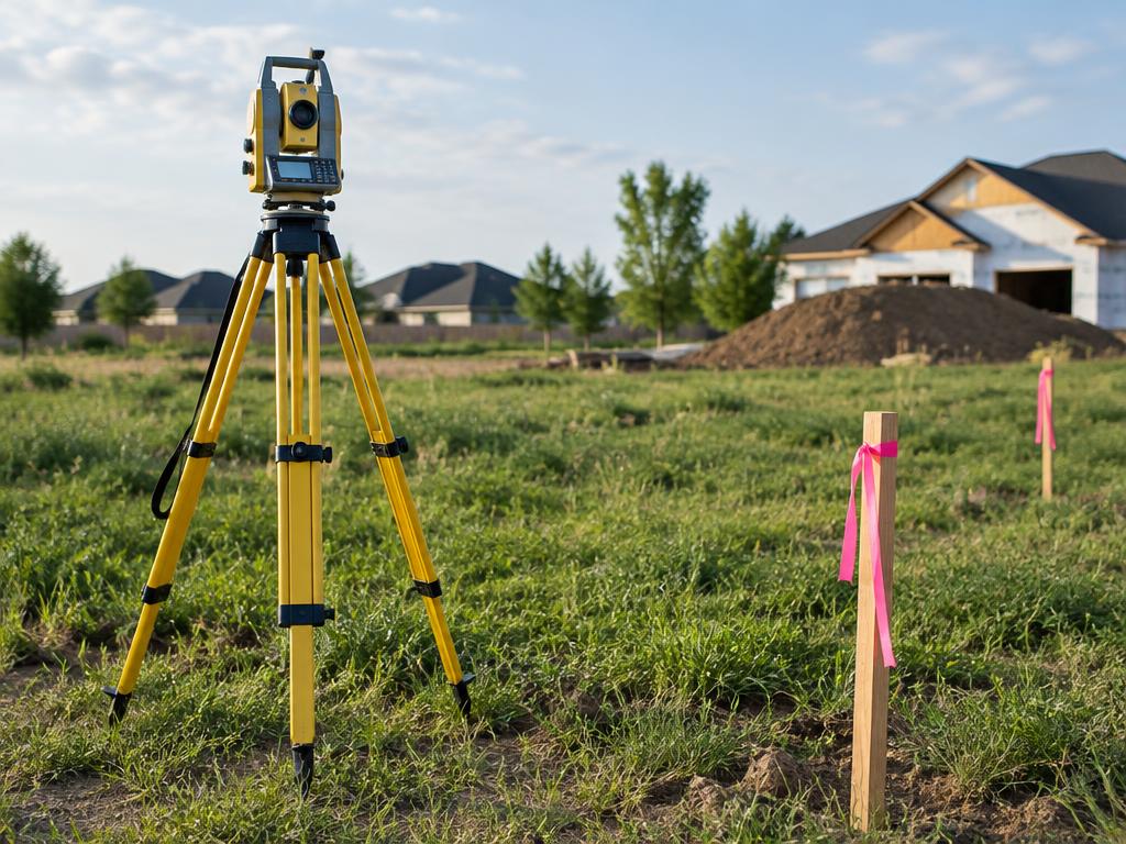
Illustrative study — Land survey · AI-generatedSAMPLE IMAGE
Photo study — Land survey · AI-generated00:06
Structural & construction notes
Surveyors use total stations, GPS/GNSS receivers, and sometimes laser scanning, tied to a fixed benchmark. The survey is the base for the site plan, setbacks, drainage, and foundation levels. Requirements and who may sign it vary by jurisdiction.
Frequently Asked Questions
An educational reference. Project-specific design requires professional guidance.